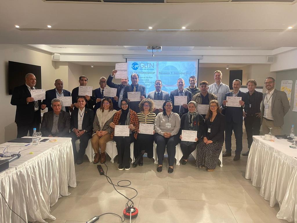


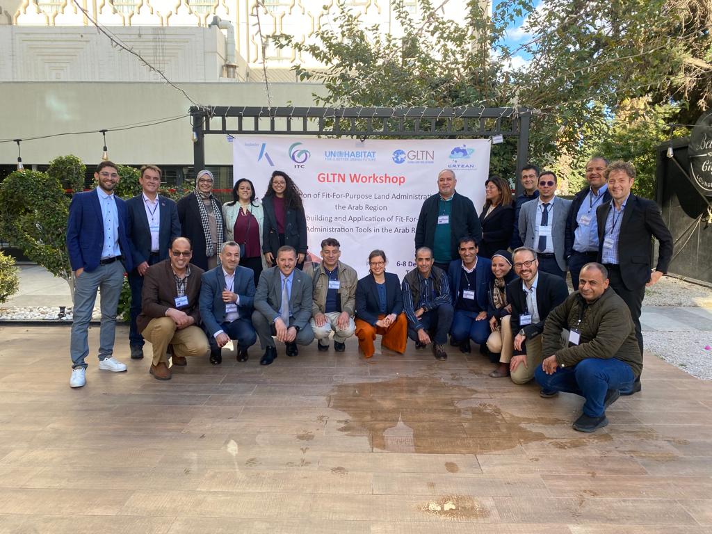
From December 6 – 8, a group land professionals from 9 countries in the Arab region discussed opportunities to find innovative and pragmatic solutions, by using the Fit-for-Purpose Land Administration (FFPLA) approach. The workshop was a joint initiative of the Global Land Tool Network (GLTN), funded by UN-HABITAT and the School for Land Administration Studies, funded and facilitated by Kadaster International and ITC (Faculty Geo-Information Science and Earth Observation, University of Twente). The event took place in Tunis, Tunisia, and was co-hosted by the Regional Center for Remote Sensing of North Africa States – CRTEAN.
The first day the FFPLA approach was introduced and land challenges in countries in the Arab region were presented by participants. Attention was paid to women rights and support for displaced people in land administration by presentations and several interactions took place during the day. The day ended with highlighting some FFPLA use cases in international context and solutions it can bring. In discussion with participants the importance of including customary and tribal rights in land administration systems was strongly emphasised.
Several aerial and capture tools and techniques, including hardware and software and processing solutions, were demonstrated by facilitators and private sector during the second day. These solutions can support designing and implementing FFPLA approaches in country contexts. Interactive discussions on the use of these tools and solutions took place and new insights were gained. The power of participatory mapping which includes local knowledge and involves citizens was also amplified and discussed.
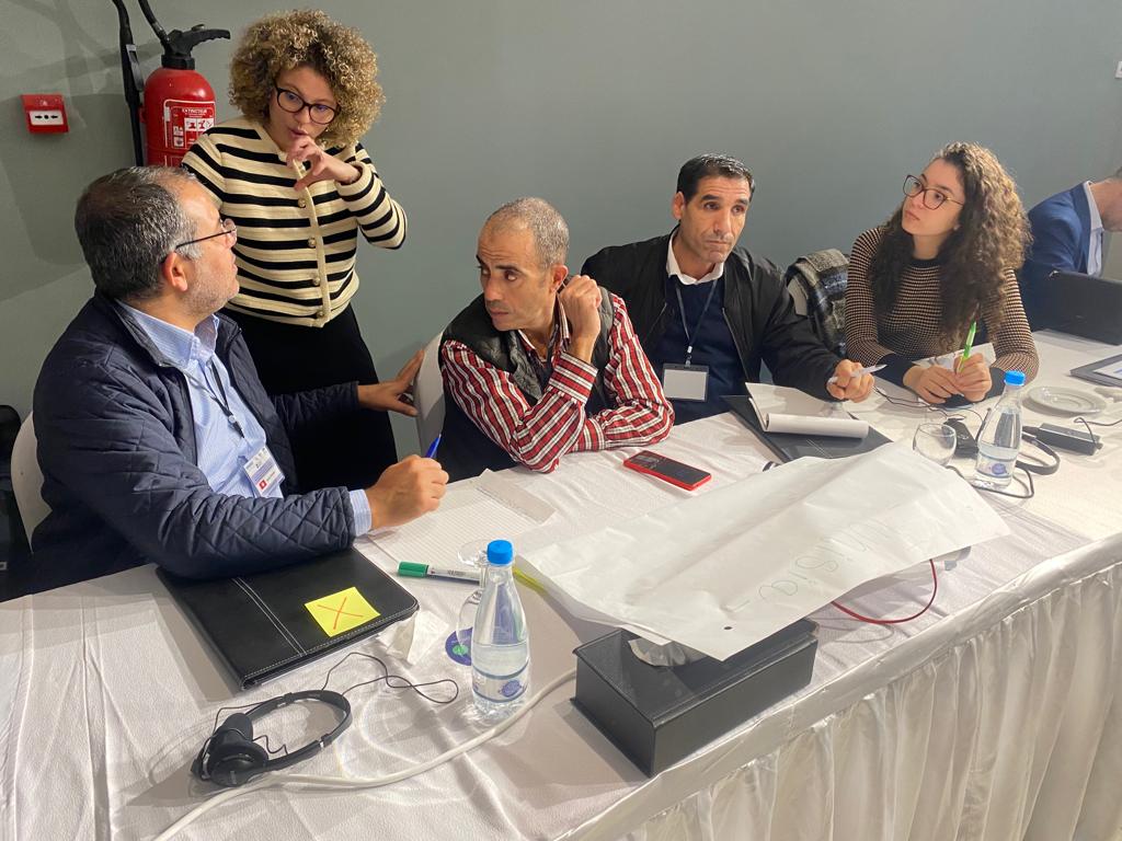
On the third day attention was given to Land Information Systems, data (processing) infrastructure and governance. Standards and Interoperability were emphasized in the morning session. After that emerging trends in feature extraction, 3D cadastres, LiDAR, Blockchain were unpacked, and options for scaling and governance were shared and discussed. The last part of the training was used for group assignments and to devise action plans for the 9 countries to adapt institutional, legal and technical frameworks leading to a move to fit-for-purpose land administration. The importance of cooperation between the countries and the GLTN network was emphasized and the need for more capacity building support was strongly advocated by participants.
With this combined effort by the GLTN network and the School for Land Administration Studies in this workshop a next step has been set to move to equal and affordable access to land, peace, stability and economic growth. This is only possible by working together on good land policies and transparent, efficient and affordable land administration systems.