“There is nothing here now, everything has been flattened.”
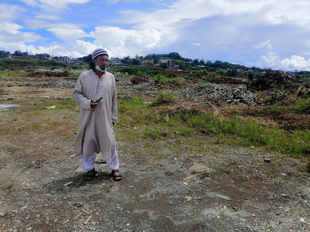
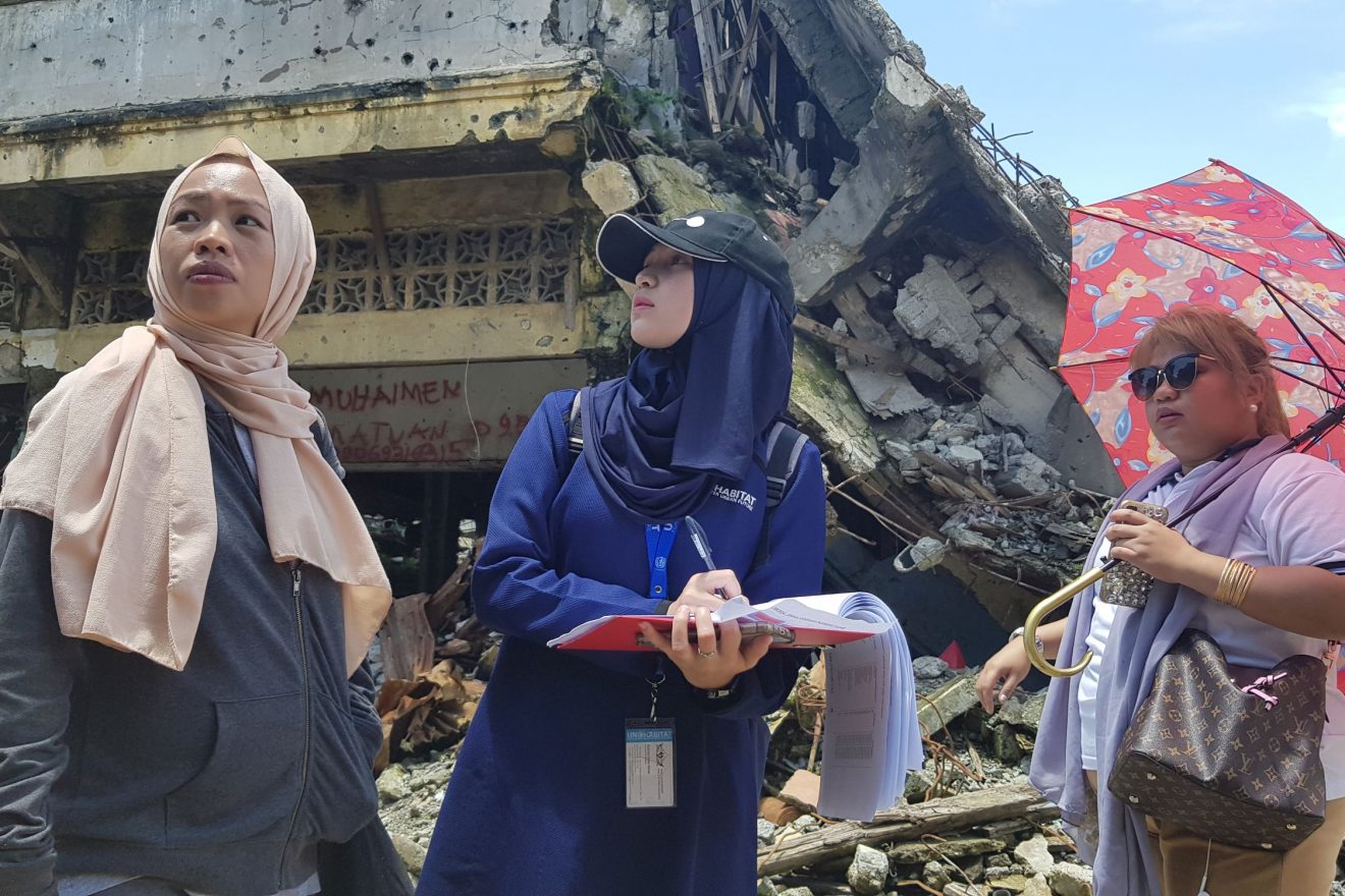
In post-war Marawi where lack of comprehensive land and property records pose as a continuing challenge, Janodin, as like other IDPs, hold on to the remaining debris as proofs of rights and ownership on housing, land, and property that they onced owned prior to the siege. He did not sign any demolition consent, so he was devastated when he came face-to-face with an empty lot which used to be his home.
Participatory Process in STDM Adoption
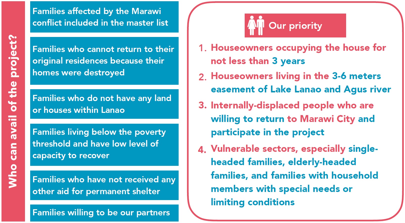
Community Baselining, Beneficiary Selection and Validation. Establishing the people-to-land relationship in post-conflict Marawi, particularly within the Most Affected Area (MAA)/Ground Zero where most structure lay in ruins, was a formidable challenge to the project. This is especially important since two of the beneficiary selection criteria requires linking houseowners with their physical house and its location. These two criteria are, 1) houseowners occupying the house for not less than three years, and 2) homeowners living within the 3-6 meters easement of Lake Lanao and Agus River – legally considered as no-dwell zone and high risk areas thus automatically barring IDPs from returning to their original location.
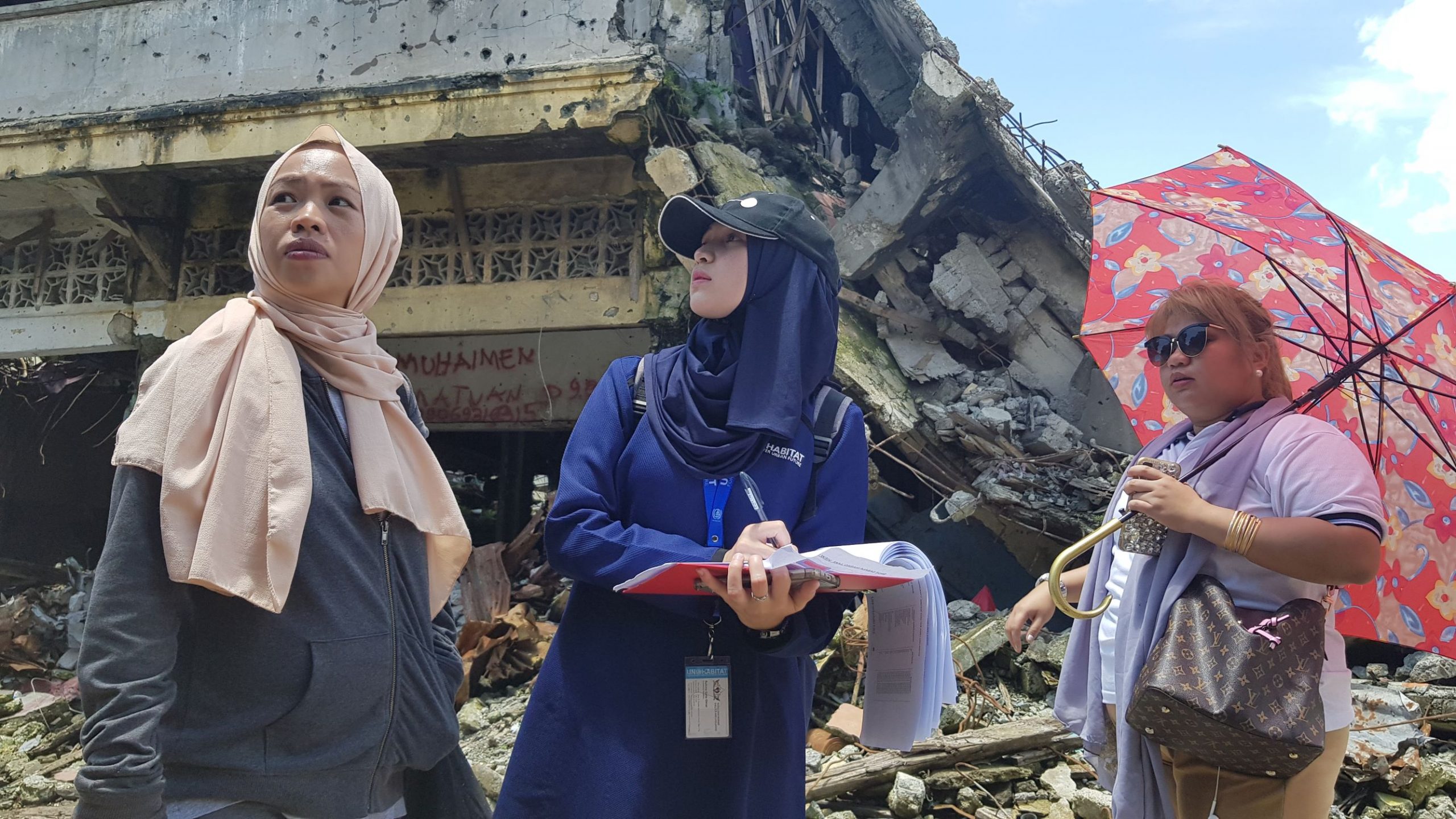
After the transect walk, shortlisted names were posted at strategic places at the Marawi City Hall for public viewing. Public feedback was encouraged within a specified period of time to confirm or challenge the names in the list and their qualification based on the criteria. The shortlisted names were also posted on the project’s social media page. As feedback came in, revalidation was conducted with barangay officials and key community leaders serving as key informants. Once this process was done, the final lists were posted.
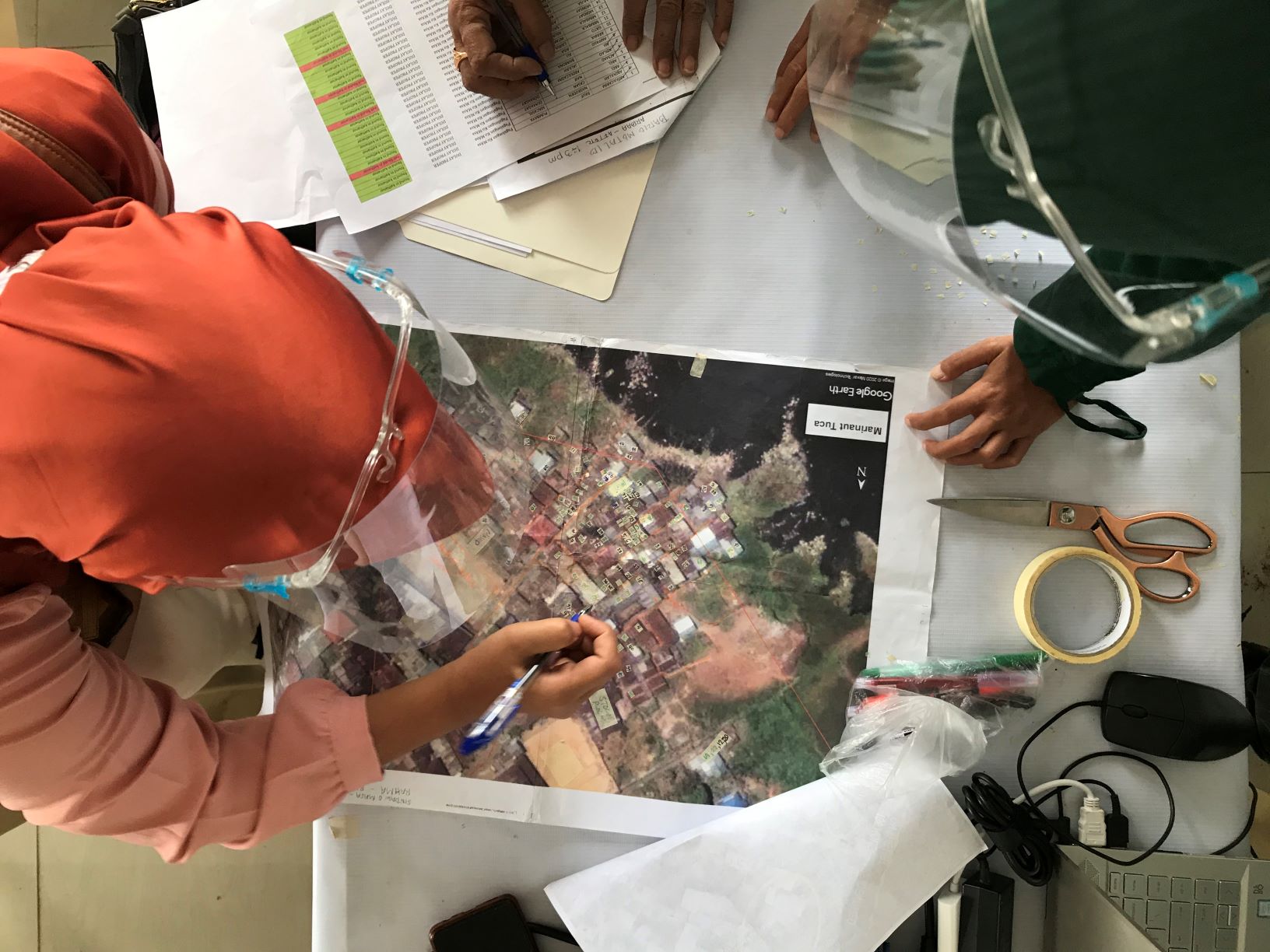
Further revalidation was conducted using printed Google Earth satellite images (from 2016, prior to the Marawi Siege) where the home-partners can identify the location and boundaries of their houses. Due to Covid-19 pandemic, where mobility restrictions are imposed, key officers of Homeowners’ Associations, and in some cases barangay captains, are invited to do the revalidation. This activity further helps UN-Habitat in the refining the project’s database by updating the information and linking their pre-siege location digitally in the database where their names and FIS data are stored.
Challenges in Adopting STDM:
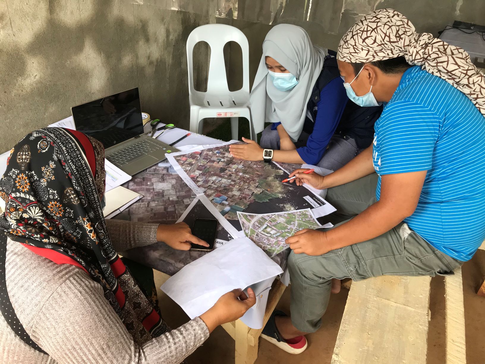
1. Covid-19 pandemic mobility restrictions limits community engagement in mapping revalidation and database updating. Because of restrictions, home-partners cannot easily be physically present at the venue;
2. Some HOA officers who were assigned to assist in determining the exact location of the house of their HOA members were unfamiliar with the site, making the process time-consuming; and,
3. Hesitancy in marking other home-partners’ location on the map for fear of making an error and thereby earning their ire.
- Once completed, the digital map with the database will be presented to project stakeholders, particularly the Task Force Bangon Marawi (TFBM). This represents the final list of home-partners who have been included in the priority list of the HOAs where they belong.
- The home-partners will be transferring to the shelter where their Homeowners’ Association are assigned. Each home-partner will be tagged to the location of their new house under the Rebuilding Marawi Project. This will be the initial recordation of land and housing rights in their new community.
As the Rebuilding Marawi Project draws to a close in the next six months, the following are areas recommended for future actions:
- Formalization of the home-partners’ land rights (i.e. titling), either collective under their Homeowners’ Association (HOA) or individually, to ensure tenure security of the home-partners, depending on the agreement between the Rebuilding Marawi Project and its project partners, particularly those tasked in land procurement and site development: Social Housing Finance Corporation (SHFC), National Housing Authority (NHA), City Government of Marawi and Provincial Government of Lanao del Sur in coordination with Task Force Bangon Marawi. At this point, early coordination with land registration agency must be part of Estate Management and Sustainability Planning of the HOAs;
- The formalization of land rights is recommended to prevent the possibility of residential land dispute among and between neighboring home-partners as they settle down in their new houses. Conflict preventive measures that may include the placing of markers (“mohon”) delineating boundaries of individual land area is recommended for consideration by the HOAs;
- Mechanisms in updating the STDM in the future should be put in place by the HOAs as part of sustainability plan and as pro-active measure on people’s mobility, passing on of property titles as inheritance for surviving family members, etc. For this to be possible, capacity-building on updating the STDM that taps into the existing technology know-how among younger generation family members of home-partners can be included in discussions and plans. This same goes with the necessary hardware (computer) and software support for this to be realized;
- Training and turn over to local government (i.e. City Assessor and Building Official, etc.), barangay officials and pertinent national government agencies (e.g. Land Registration Agency, Register of Deeds, etc.). Sharing of the information to the City Social Welfare Office, the Ministry of Trade, Investment and Tourism, etc. can also be done to ensure provision of basic services the delivery of which, to be accurate and targeted, can make use of the comprehensive home-partners’ information made available through STDM;
- The documentation of collective ownership and use of public spaces and ensuring that women have equal access to these spaces and their safety assured, merit further discussion as part of establishing people-to-land relationships in the new communities;
- Estate management to be established to ensure operation and maintenance of community facilities, basic services and public spaces; and,
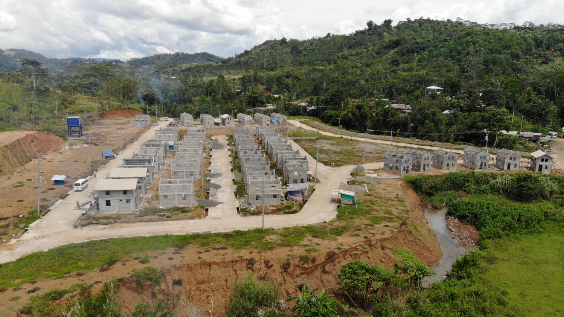
7. Land management within the new settlement areas, particularly in light of climate change and natural hazards, is to be considered – e.g. coordinating with the Ministry of Environment and Natural Resources for the prevention of soil erosion along creeks and elevated portions within and surrounding the subdivision.

