


The Upper Tana Natural Resource Management (UTaNRM) Project is set to launch an expanded STDM-based Land Information Management System database for Ndekia Out-Grower Smallholder Rice Farmers
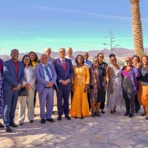
Through the TSLI-ESA Initiative, GLTN in partnership with the UTaNRM project, Resource Conflict Institute (RECONCILE), Mwea Irrigation Scheme-National Irrigation Board, Mwea Irrigation Water Users Association (Mwea IWUA) and Ndekia Out-Grower Smallholder Rice Farmers have expanded the Mwea STDM-based LIMS database to 800 UTaNRMP supported smallholder rice farmers.
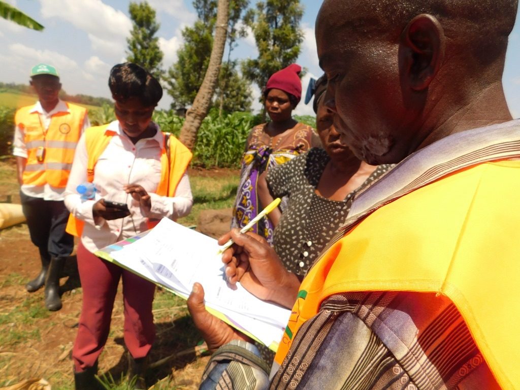
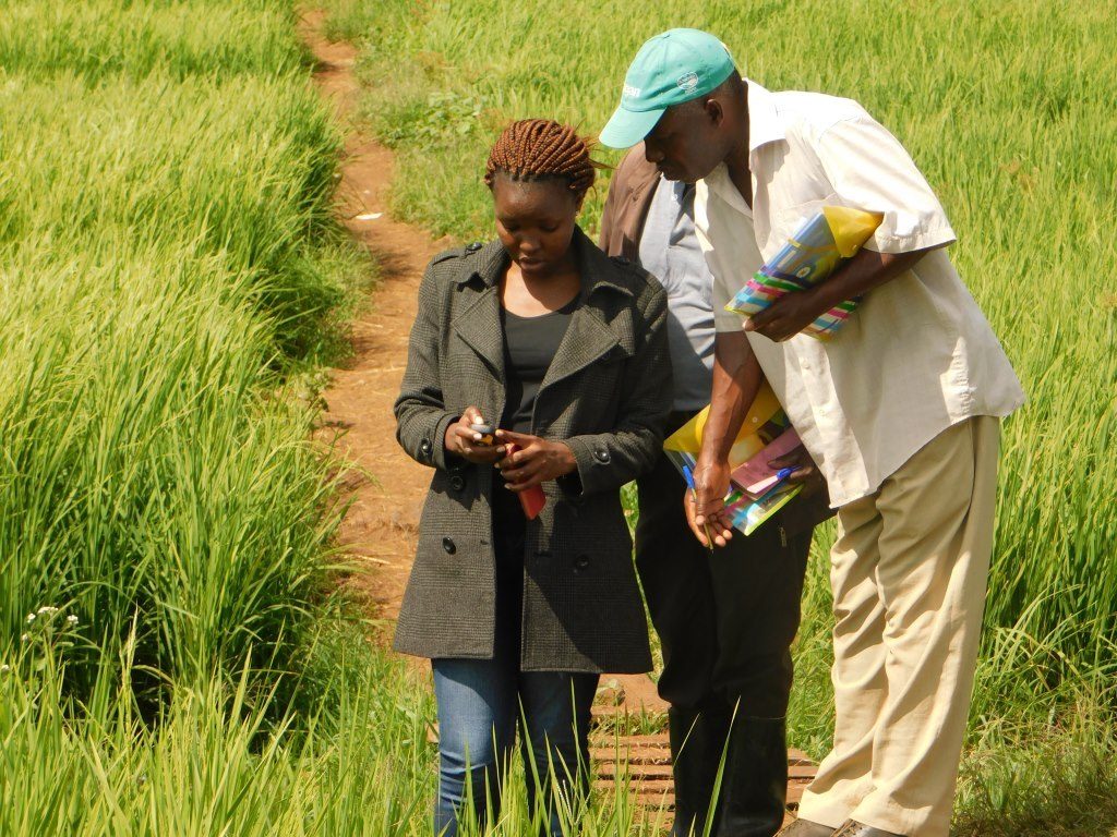
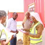
This was achieved through participatory enumerations, paddy fields measurement and mapping, and recordation of paddy associated information for inclusion in the MIS/IWUA out-grower farmer register. These efforts culminated in the completion of geo-spatial data collection by the farmers and the expansion of the STDM-based Land Information Management System (LIMS) for the four Ndekia out grower blocks.
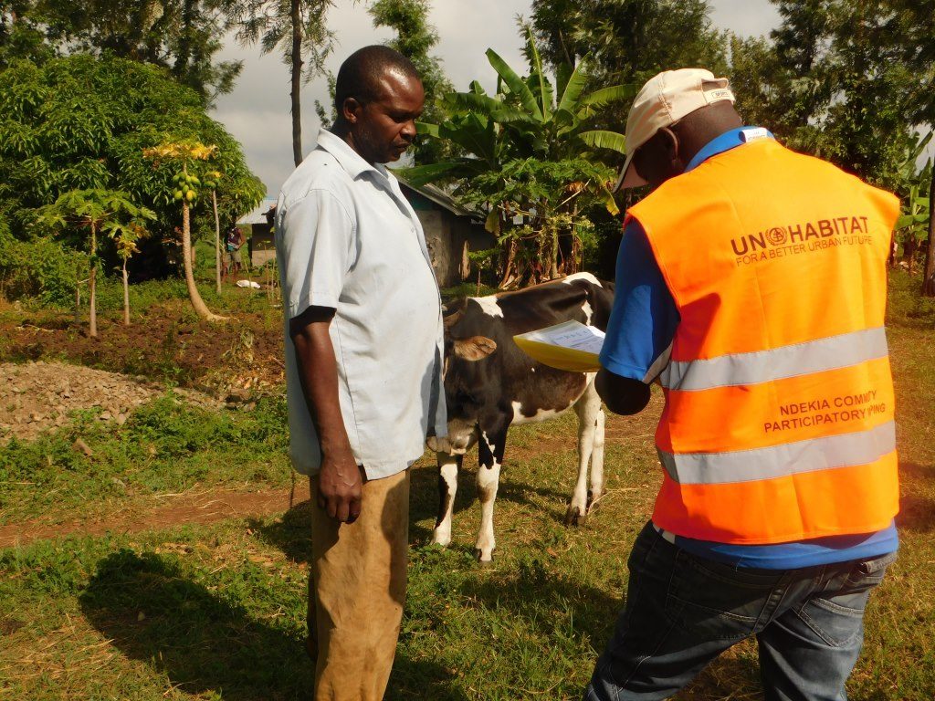
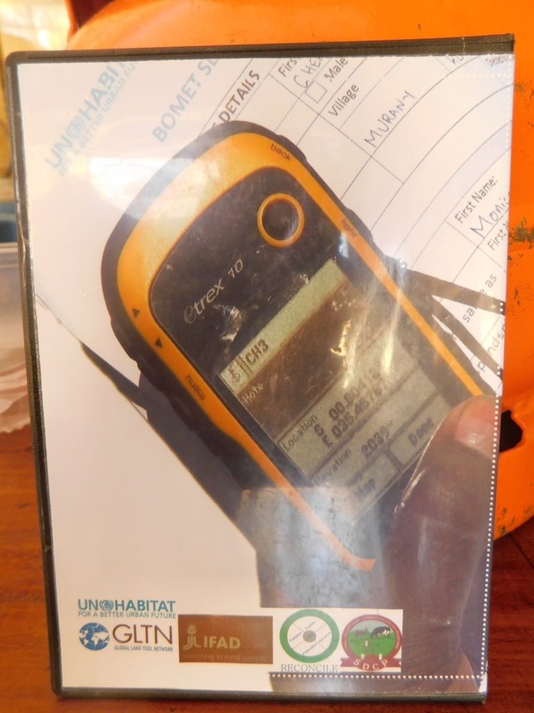
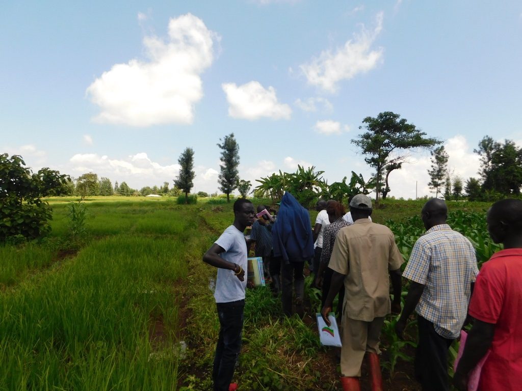
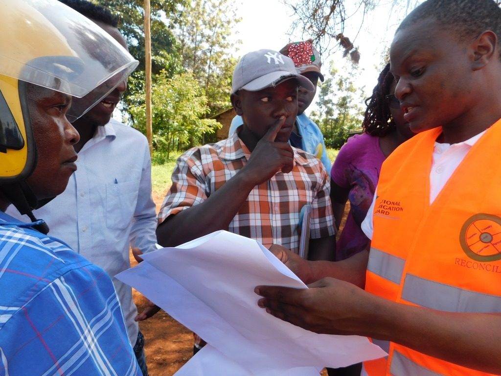
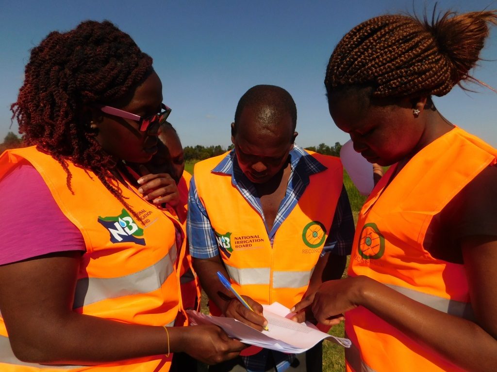
To facilitate the geospatial data collection, 60 enumerators selected by the farmers from the Irrigation Water Users Association groups were trained on data collection using the questionnaire and the hand-held global positioning system (GPS), before being deployed to their respective villages in Ndekia I, II and IV for the field exercise.
The data collection conducted from 30th November 2017 to 11th December 2017 captured data from more than 730 farmers, including 464 male and 266 female smallholder rice out-growers and their corresponding rice paddies. Additionally, both the Thiba- Nyamindi link and main branch canals conveying irrigation water to the out-grower blocks were mapped, towards tackling the water resource conflicts amongst the out-growers

Key Land and Natural Resource Challenges in Ndekia out grower blocks
“We have had many community conflicts over the natural resources here, mainly about irrigation water, reported to the local administrative office daily,” noted Immaculate Njoka, the Nyangati Location Chief.
This has been the reality for the farmers in the area, who do not have regular access to water for farming from River Thiba and Nyamindi, the two main rivers in the area. Towards the resolution of the conflict, communities covered by the UTaNRM project were supported to form common interest groups, through which they developed and implemented community action plans for livelihood improvement and sustainable natural resource management in the area.
One type of the common interest groups is the Water River User Associations (WRUAs). The UTaNRM project, with support of Water Resource Management Authority (WARMA) have since supported the WRUAs to develop their Sub-Catchment Management Plans (SCMPs) to provide for sustainable access and use of the two rivers for paddy rice farming.
“To implement their SCMPs, the WRUAs applied for irrigation water and other services from the National Irrigation Board of Kenya’s Mwea Irrigation Scheme,” noted the Mwea Irrigation Scheme Manager, Innocent Ariemba. “As these farmers were outside of the gazetted land under the Mwea Irrigation Scheme, one key requirement from us was that the WRUAs needed to hire surveyors to map and provide list of the out-growers and details of their paddies, including location coordinates, gradient, plot demarcations and dimensional sizes.”
This information thus would enable the Mwea Irrigation Scheme to determine the quantity of water allocation and fees payable for Operations and Maintenance (O&M fees).

Technical Interventions from GLTN
With technical support from GLTN under the TSLI-ESA regional project, the Scaling Up of Participatory Enumerations and Mapping Using STDM to Improve Irrigation Water Use Efficiency project in the Mwea Irrigation Scheme has now been finalized. The farmers themselves and local administrative leaders were involved in geospatially mapping their rice paddies and the irrigation water conveyance structures . “…I have taken my time to join in the mapping and practically use the land tenure tools to resolve the conflicts that are reported to my office,” shared Chief Immaculate.
Short term Outcomes in applying Land Tenure tools in Ndekia
A pilot exercise in 2016 saw the launch of the MIS Land Information Management Center and Database on the 9th December 2016. The outputs included a comprehensive IWUA farmer register through which O&M fees and payments can be tracked, and certificates of affiliation to Mwea IWUA which were created as a symbol of association between the out-grower farmers with their paddies and the MIS/IWUA. The application of STDM through farmer driven enumeration in 2016 encouraged the out-growers in Mwea to participate in irrigation planning within the scheme. The verifiable household and spatial data generated was used to develop a new cropping plan, implemented in 2017, to support water management for improved productivity.
In 2017, the application of GLTN land tools was upscaled to provide an expanded database focusing on delivering an up to date register of all out-grower rice farmers and their geo-referenced rice paddies in Ndekia I, II, and IV in the Mwea Irrigation Scheme. The expanded database would be used to improve water supply and efficient use by both the NIB and the farmers, thus increasing the agronomic productivity of the scheme. The process also allowed for geospatial mapping of link and branch canals in Ndekia I, II, III and IV, to track the irrigation water conveyance infrastructure supplying water to the out-grower blocks. This has richly supplemented to the geo-referenced land information system database and a comprehensive map of the irrigation water supply, possible shortfalls if any which facilitates the necessary maintenance of the infrastructure from the National Irrigations Board and Mwea IWUA.
Submitted by/Photos: Brendah Achungo