IFAD-supported Upper Tana Natural Resource Management Project integrates mobile data collection with STDM in the project’s monitoring and evaluation.
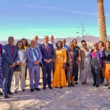
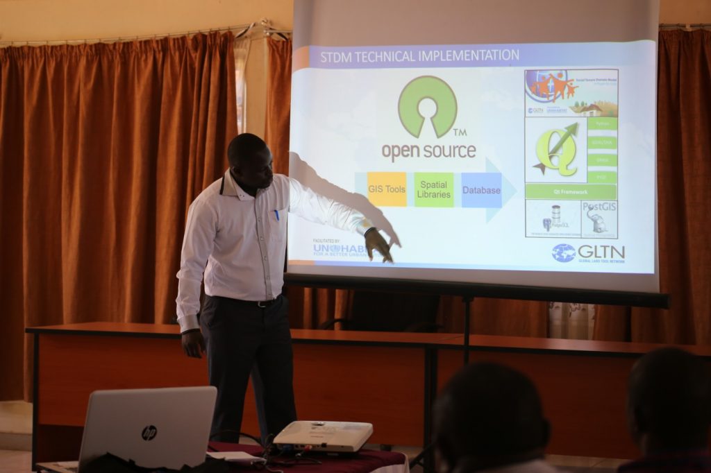
Under the Land and Natural Resources Tenure Learning Initiative for East and Southern Africa (TSLI-ESA) initiative, GLTN and the Upper Tana Natural Resource Management (UTaNRM) Project successfully carried out a one day induction workshop, followed by customization and field testing of mobile data collection tools to support development of a geo-referenced project Monitoring and Evaluation (M&E) system built on STDM database. The induction exercise was attended by eleven participants (eight men and three women), including M&E staff and County Project Coordinators from Kirinyaga, Embu, Nyeri and Muranga counties.
Establishment of geo-referenced M&E System for the project to incorporate monitoring land use and tenure in the project” notes UTaNRMP Project M&E Officer Mrs. Grace Mwangi. “This is important, because data on tenure aspects of tenure and project interventions in the localities will be collected, monitored and decisions made on real-time basis. This will help inspections of deforestation activities and also to monitor project interventions on a real-time basis.
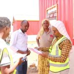
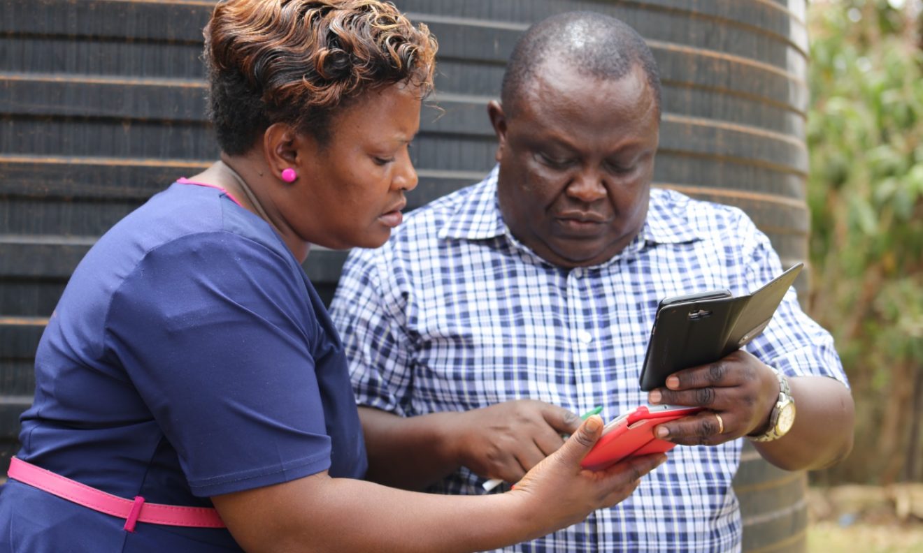
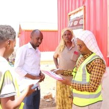
The induction exercise covered user orientation to STDM and a practical delivery on how to use the GeoODK package (part of the Open Data Collection Kit – ODK) for data collection. Based on UTaNRMP M&E requirements, a custom data collection tool was developed and tested from the 9th to 12th October 2017 with the selected county monitoring and mapping project officers in one Sub County and over 30 project intervention sites in the Lower Rupingazi and Upper Thura Focal Development Areas (FDAs). Tablets and smartphones were used to map the areas with real-time information relayed to an online server visible to all officers simultaneously.
The eight-year UTaNRM project is funded by the Government of Kenya, International Fund for Agricultural Development (IFAD), Spanish Trust Fund and the Local Community. The project’s aim to contribute to the reduction of rural poverty in the Upper Tana River catchment area pursues two development objectives which reflect the poverty-environment nexus. These are increased sustainable food production and incomes for poor rural households living in the project area; and sustainable management of natural resources for the provision of environmental services. It places emphasis on an integrated approach to Natural Resource Management and supports livelihood activities linked to stewardship of environmental resources on the basis of community participation.
From the testing, the STDM enabled data collection tool has allowed the monitoring teams to capture additional information including visual data captured eliminating the conventional pen, paper and GPS approach,” noted Mr. Paul Njuguna, the Land and Environment Coordinator for the project. “This also allowed for documentation of special comments from communities, challenges, and lessons learnt” he continued, “we will be soon piloting the tool in Kirinyaga and Embu Counties.”
The key land and natural resources tenure challenge within the UTaNRM project intervention sites is the continued forest degradation and weakening of the ecosystem health due to the high population numbers that continue to engage in unsustainable livelihood opportunities in the environmentally fragile Upper Tana watershed. The high prevalence of rural poverty has contributed to environmental degradation which in turn is reducing as well as creating negative environmental externalities including forest degradation, human-wildlife conflicts, encroachment in water sources and reduced availability and quality of water to downstream users.
Submitted by/Photos: Brendah Achungo

