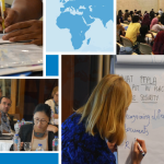
On 18th August, a five-day regional training on mapping of land and natural resources tenure using open source geospatial technologies kicked off at the Regional Centre for Mapping of Resources for Development (RCMRD) in Nairobi, Kenya. The training brought together over fifteen experts, including programme and M&E officers working in IFAD supported projects and programmes, and some selected GLTN partners in Kenya, Uganda and Malawi.

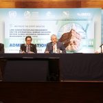
Ken Otieno (standing) from the Resource Conflict Institute (RECONCILE) outlining his expectations during the opening ceremony.
The primary objective of the training was to equip technical personnel from IFAD-supported projects and programmes with new skills of incorporating maps as a means of planning, monitoring and evaluating the projects, including reporting of outcomes and impacts using open source mapping tools and technologies that are easily accessible and well documented.
The workshop was jointly organized by UN-Habitat/Global Land Tool Network, International Fund for Agricultural Development (IFAD) and RCMRD.
During the opening ceremony, Mr. Stephen Ddungu, a field officer with the Kalangala Oil Palm Growers Trust (KOPGT) in Uganda, remarked that he would be keen in “learning how to map and link garden acreage with the corresponding farm inputs and services through the support provided by KOPGT”.
At the end of the training workshop, participants drew action plans and make succinct presentations that highlight possible applications of GIS as a decision support tool in their respective projects as well as using it to improve the effectiveness and communication of results to stakeholders.

