


Strengthening Malawi’s Sustainable Agricultural Production Programme’s Monitoring and Evaluation System
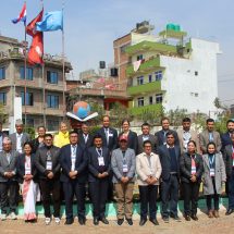
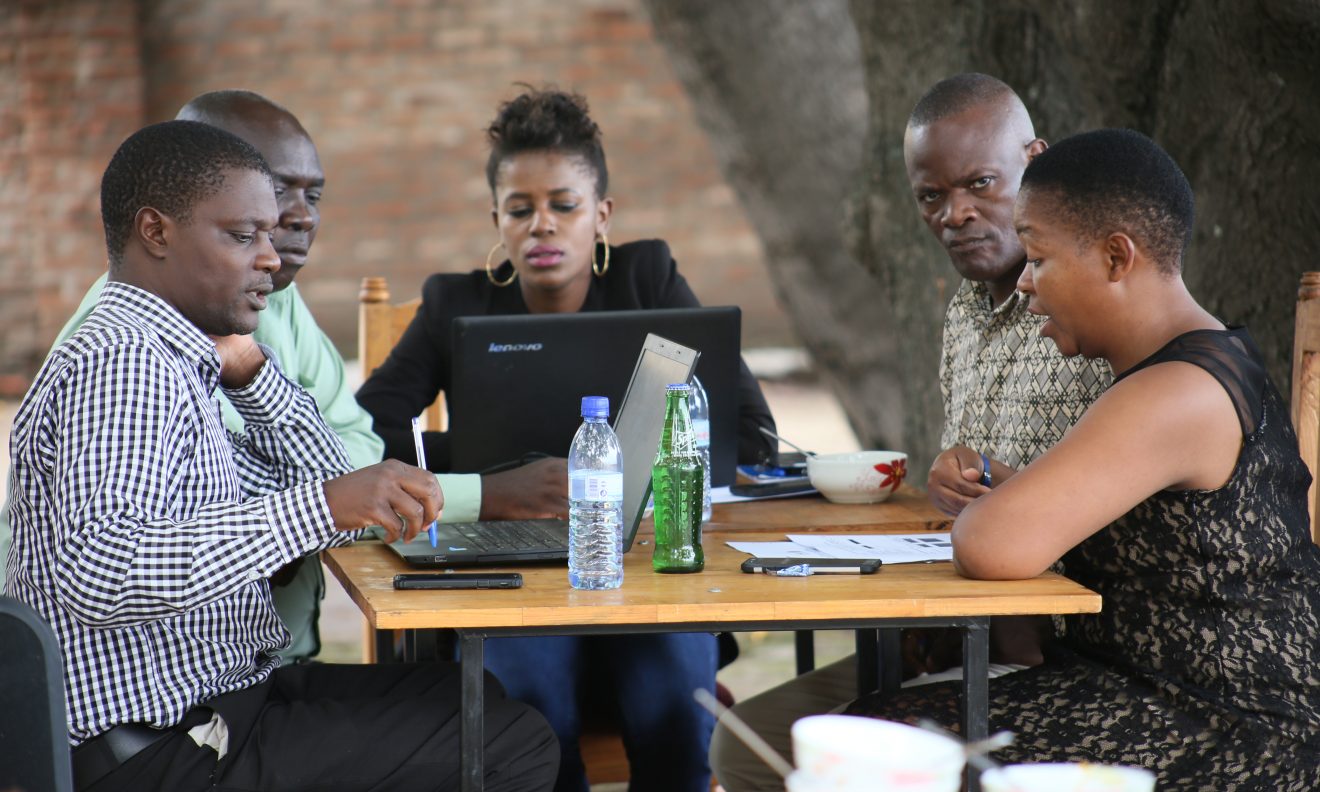
TSLI-ESA in partnership with the IFAD-supported Sustainable Agricultural Production Programme (SAPP) in Malawi, conducted a joint Geo ODK/ STDM training in Salima in December 2017. The training was tailor-made to suit the application of geospatial mobile data collection tools in the programme’s Monitoring and Evaluation system.
In attendance at the training workshop were 25 men and 7 women; who are monitoring and evaluation officers from the SAPP Coordinating Unit; economists from the Department of Agricultural Planning in the Ministry of Agriculture, GIS experts from SAPP implementing Agricultural Development Divisions in the country, surveyors from the Department of Surveys in the Ministry of Lands, Housing and Urban Development, Irrigation and Water Development, and GIS experts from the Department of Land Resources Conservation.
Also in attendance was Mr. Gilbert Kupunda, the deputy director Land Resources Conservation responsible for Land Resources Surveys and Evaluation and Mr. James Banda, the Deputy Director Land Resource Conservation responsible for Land Management Training under the Ministry of Agriculture, Irrigation and Water Development. These participants will be the champions in using the STDM based Geo-ODK technologies in strengthening SAPP’s M&E system.
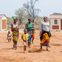
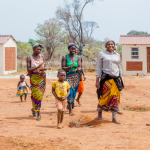
The Sustainable Agricultural Production Programme is a nine year programme, implemented within Malawi’s Ministry of Agriculture, Irrigation and Water Development under Agricultural Sector Wide Approach (ASWAp). The programme’s development goal is to contribute to poverty reduction and improved food security among the rural population. Targeting about 200,000 poorest households, the specific development objective is to achieve a viable and sustainable smallholder agricultural sector employing good agricultural practices (GAPs).
The smallholders in this case receive support to increase crop yields, particularly improved seed, fertilizers, and advice on good agricultural practices in six districts which are: Nkhotakota, Balaka, Chitipa, Lilongwe, Chiradzulu and Blantyre districts.
The national workshop was officially opene by Mr. James Banda on behalf of the Director, Department of Land Resource Conservation. In his opening remarks he pointed out to the land tenure issues in Malawi including insecure rented/ undocumented land where evictions are rife, acquisition of tilling of land isn’t affordable for smallholders; limited land for enterprise expansion, land fragmentation and degradation and lack of access to credit to women.
‘It is not a hidden fact that land and natural resource tenure security is a central yet often neglected area for economic development and poverty reduction in Malawi. Potentially crucial and debilitating tenure issues were not apparent at the design of the SAPP have emerged and call for mitigation so as not to cripple the interventions”, noted Mr. Banda “These issues to do with land tenure were not taken into consideration as to see how these impact on the technology adoption, food and nutrition security and household income but when land tenure interventions are not explicitly integrated in the project design on the assumption that their impacts on the delivery of the outputs of the project would be negligible.”
In this, he expressed hope that the integration of STDM and Geo ODK will support SAPP collecting, analyzing and presenting field data to adequately improve on decision making on land tenure issues noting that innovations are key to improving outcomes of land and natural resources development programmes.
The TSLI-ESA coordinator, Mr. Solomon Mkumbwa, also gave a brief overview of the project contextualizing the current innovative exercise in the integration of geospatial technologies to strengthening M&E systems and practices for the IFAD-supported projects while building a culture of evidence based decision-making and strengthening demand for land tenure monitoring.
With technical support from GLTN’s TSLI-ESA initative,the SAPP is developing the capacity of staff on the use of smart phones in collecting M&E data transmitted real time (via Geo ODK) to a Social Tenure Domain Model (STDM) based database. It is also hoped that this can be taken up in other programmes within the Ministry of Agriculture, Irrigation and Water Development. The training workshop was customised to fit the Malawian rural context, with practical on-site sessions , while field testing will be in Nakhotakhota District, one of the project areas of SAPP intervention.
The workshop and testing exercises will conclude with a M&E template customized to SAPP specifications, incorporating the field officers’ recommendations and testing experiences. Premised on these activities, the project will develop an action plan to roll out use of the smart phone technology to the other project areas and set up enabling infrastructure to support data transmission nationally.