


Under the Land and Natural Resources Tenure Learning Initiative for East and Southern Africa (TSLI-ESA) initiative, the Global Land Tool Network (GLTN) is in the next two weeks working with the Vegetable Oil Development Project (VODP2) and Kalangala Oil Palm Growers Trust (KOPGT) in Kalangala District of Bugala Island, Uganda to finalize geospatial data collection and development of a complete of land information management system (LIMS) database on the Social Tenure Domain Model (STDM) platform for all smallholder oil palm farmers registered with KOPGT.
This exercise has involved training enumerators to carry out both household and spatial data collection, data entry and validation and operationalization of the database for KOPGT management.
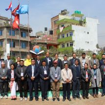
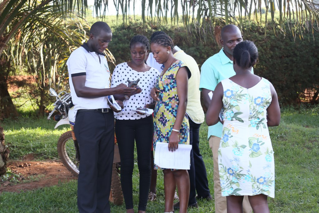
On the 17th of October 2017, an induction workshop was held at the KOPGT boardroom where the 21 enumerators were trained on data collection using the questionnaire and the hand-held global positioning system (GPS), before being deployed to their respective villages.
Alessandro Marini, IFAD Country Program Manager in Uganda, made opening remarks during the tool induction workshop and indicated that IFAD is happy with the partnership and that they are looking forward to replicating the STDM in the new National Oil Palm Programme in Buvuma.
The two- week enumeration and mapping exercise that began on the 16th of October, 2017 is expected to map at least 1,500 oil palm gardens in Bugala, Bunyama and Bubembe islands on Lake Victoria, Uganda. This will build on 310 gardens that were already mapped and included in the KOPGT LIMS database.
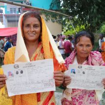
“This is a clarion call for fellow women to take charge of their destinies and not to leave it to our men to decide our rights to land” said Margaret Nansubuga, a KOPGT farmer, “to engage in intensive agriculture financially supporting them to purchase land and develop their families’
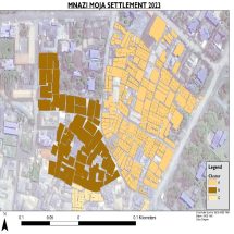
With the STDM database, KOPGT will be able to produce maps showing the location of all the smallholder farmers, their garden boundaries and provide information on their tenure situation that will facilitate their field operations. KOPGT is hosting the LIMS database and will manage, update and use it for its operations, including issuance of garden certificates.
“The database will be used for performance management, social reporting in terms of the value appreciation of land, user dynamics and issues, land documentation for resolution of conflicts on the gardens. Further, we are looking into migration of our farmer information systems into STDM, software with capabilities to handle geospatial and other type data at the same time.
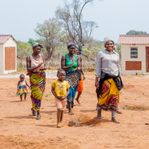
The participatory mapping exercise brought in 21 enumerators including 7 men and 14 women drawn from the Ministry of Agriculture, Animal Industry and Fisheries, field officers of KOPGT, the smallholder oil palm farmers and VODP staff to geo-spatially enumerate the smallholder oil palm farmers households and their gardens.