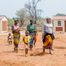


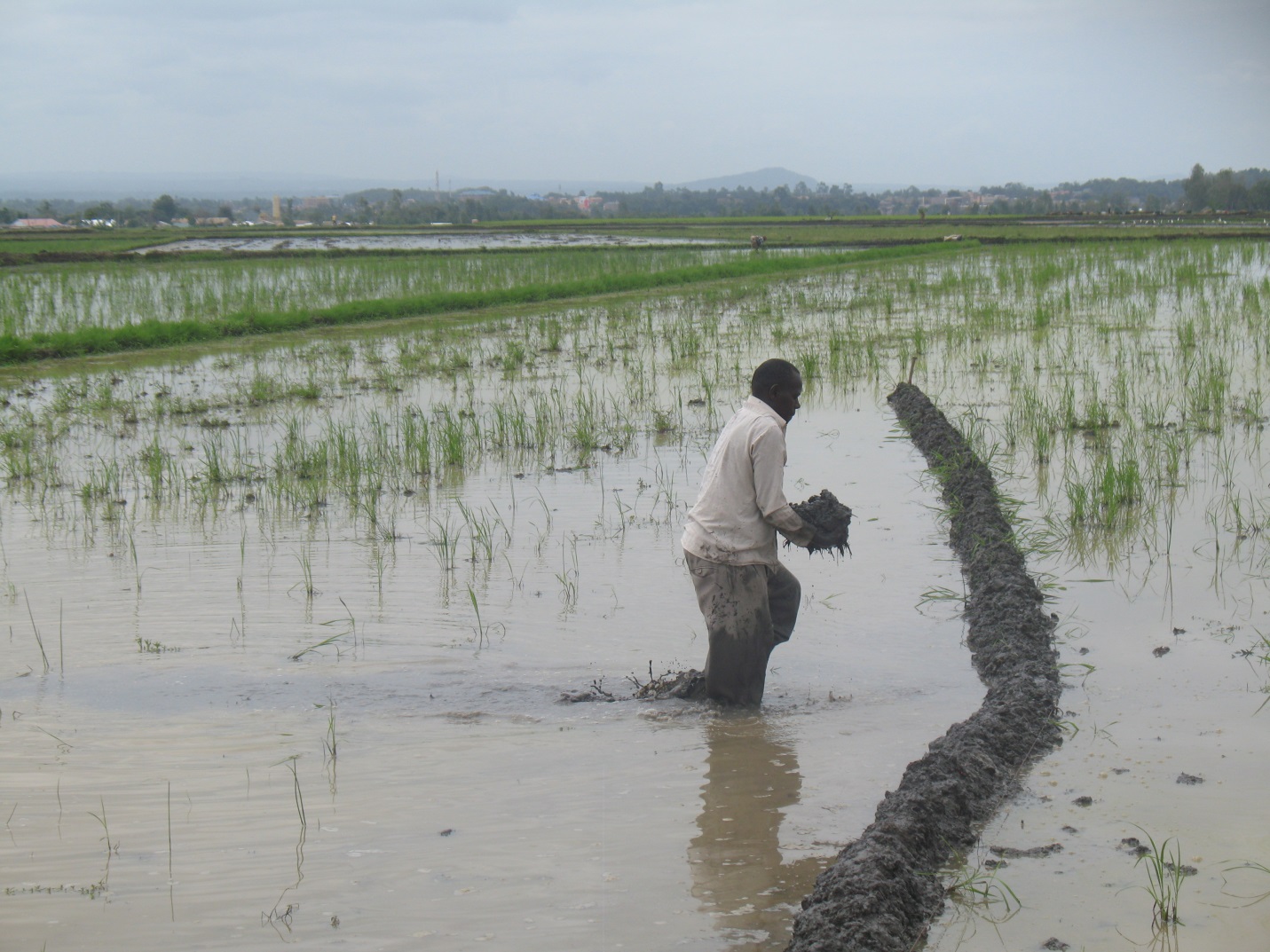
Mwea Irrigation Scheme employs the STDM in verifying total acreage in the scheme’s Ndekia III Rice Outgrower block
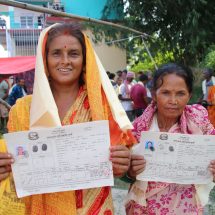
Social Tenure Domain Model has proven to be climate-smart technology as observed at Mwea Irrigation Scheme in Kenya (MIS). Since the installation of the improved digitized land information management system (LIMS) based on the Social Domain Tenure Model (STDM) platform in the Scheme, the Mwea Irrigation Water Users Association (IWUA) continue to map the paddies using hand-held geographical positioning system (GPS), record farmer information to update the land database, and issue MIS-IWUA certificates in Ndekia III rice out-grower blocks in the Scheme.
“In the face of critical water shortage due to prolonged drought that the country faced this year, establishing the land database with STDM has helped us at MIS a great deal”, said Mr. Ennocent Mwaura, a Senior Technical Water Management Officer at the NIB/MIS. “We have been able to verify the actual acreage and thus been able to improve the efficient conveyance of irrigation water to more farmers. In addition, the more accurate and reliable data will be used when charging operation and maintenance fees for the water supplied accordingly, as now we now know that the irrigated actual area of Ndekia III is 540 acres and not 200 acres as reported before”.
Established in 1954, MIS is the largest irrigation scheme in Kenya with an annual rice production of 60 million bags from the gazetted scheme area of 26,000 acres. Due to the rising demand for rice as a substitute staple food, MIS is extending the irrigation water supply into ‘private land’ or leaseholds out-grower zones of Mutithi, Kianugu, Kiamanyeki and Ndekia I,II,III,IV; through the construction of the Link Canal No. 1 between Nyamindi River and Thiba River. This is expected to boost the water volume required in the main canal. However, the expansion was informal and undocumented and the scheme’s management could not accurately quite determine the exact number of farmers using the irrigation water and the acreage of their irrigated farms.
The National Irrigation Board and MIS in collaboration with the Upper Tana Natural Resource Management Programme (UTaNRMP), requested support from GLTN under the IFAD-funded Land and Natural Resources Tenure Security Learning Initiative for Eastern and Southern Africa (TSLI-ESA) project, to pilot the application of STDM through farmer driven enumerations, towards collecting verifiable household and spatial data, and to produce the Ndekia III area map that would be central to the formalization of the water distribution for irrigation.
In November 2016, GLTN through TSLI-ESA launched the Mwea Land Information Management Centre and Database (LIMS) at the Mwea Irrigation Scheme in conjunction with the National Irrigation Board, the Ministry of Water and Irrigation, and the IFAD funded Upper Tana Natural Resource Management Programme (UTaNRMP).
The LIMS Database is managed by the Mwea Irrigation Users Association- IWUA and co-hosted at the Mwea Irrigation Scheme and the National Irrigation Board. This is well within the UTaNRMP project objective, to contribute to the reduction of rural poverty through the promotion of environmentally friendly and sustainable livelihoods in the Upper Tana River catchment area.
Work continues after the end of the first phase of the intervention which in December 2016. With MIS continuing the scaling up, GLTN through TSLI-ESA continues to provide technical support in the enumeration of Ndekia I, II, and IV.
“We are looking forward to farmers participating in the mapping and enumeration exercises we have heard will take place in Ndekia I so as to collect our information as a means of addressing the local population’s needs with regard to the distribution of irrigation water,” said Mr. Chomba Gikuru a farmer in Ndekia I.