

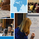

IFAD’s Land Tenure Desk and FAO’s Land Tenure Team cordially invite you to the fifth short and informative webinar on technological solutions for land recordation:
- When? Thursday, 9 September 2021, 11:30-12:00 CET
- Where? Register on Zoom
- Who? Danilo Antonio, Programme Management Officer at UN-Habitat
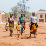
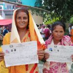
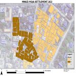
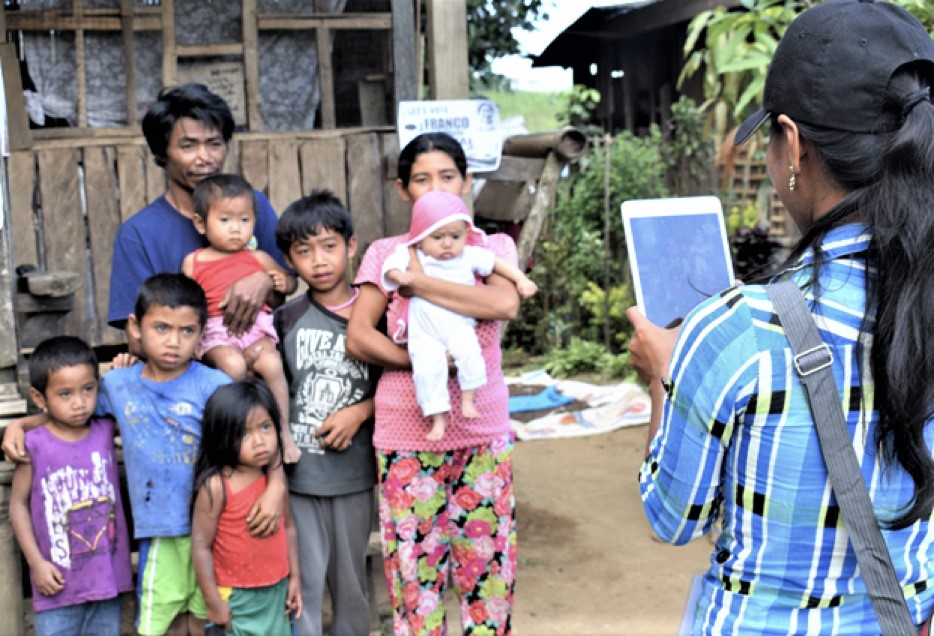
It will feature the Social Tenure Domain Model (STDM), a pro-poor, participatory and affordable land information tool to represent people-to-land relationships along the ‘continuum of land rights’ frameworks.
This webinar will present the three key elements of STDM and showcase how it is implemented in different countries. Register for the webinar here.
Social Tenure Domain Model (STDM)
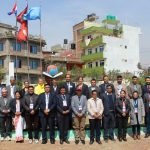
STDM is a pro-poor, participatory and affordable land information tool to represent people-to-land relationships along the ‘continuum of land rights’ frameworks. It is a system based on open and free software packages. It has been applied in both rural and urban contexts in different contexts in various countries. This webinar will present the three key elements of STDM and showcase how it is implemented in different countries (view website).
Meet our speaker
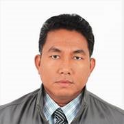 Danilo Antonio works as a Programme Management Officer at the Land, Housing and Shelter Section of UN-Habitat. He is the lead and coordinator of the various country operations and tools development of the Global Land Tool Network (GLTN) Programme. For more than 12 years, he has worked with UN-Habitat on supervising projects, land tools development (e.g. STDM, participatory enumerations, land use planning, pro-poor land recordation, etc.), network coordination, capacity development, knowledge and awareness building. He is also coordinating the community of practice on land, housing and shelter governance. He is a land surveyor by training and completed a Master’s Programme on Land Tenure and Land Management at the Technical University of Munich, Germany.
Read more on the Webinar series on geospatial technologies for land recordation.