


Harnessing collaborative open source approaches in the continuing development of the STDM tool.
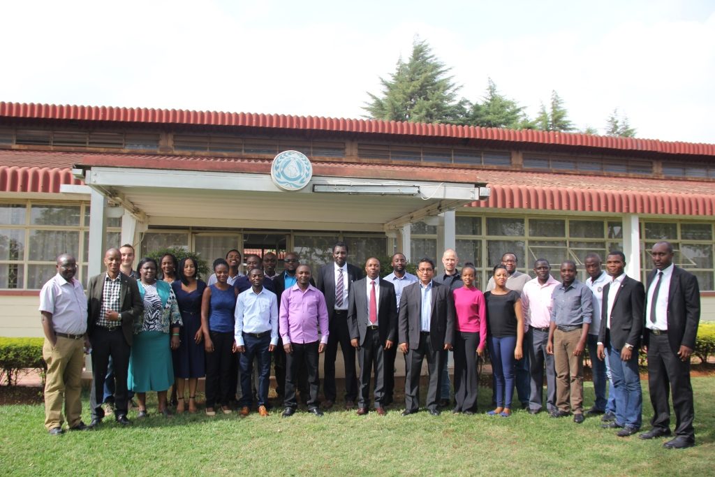
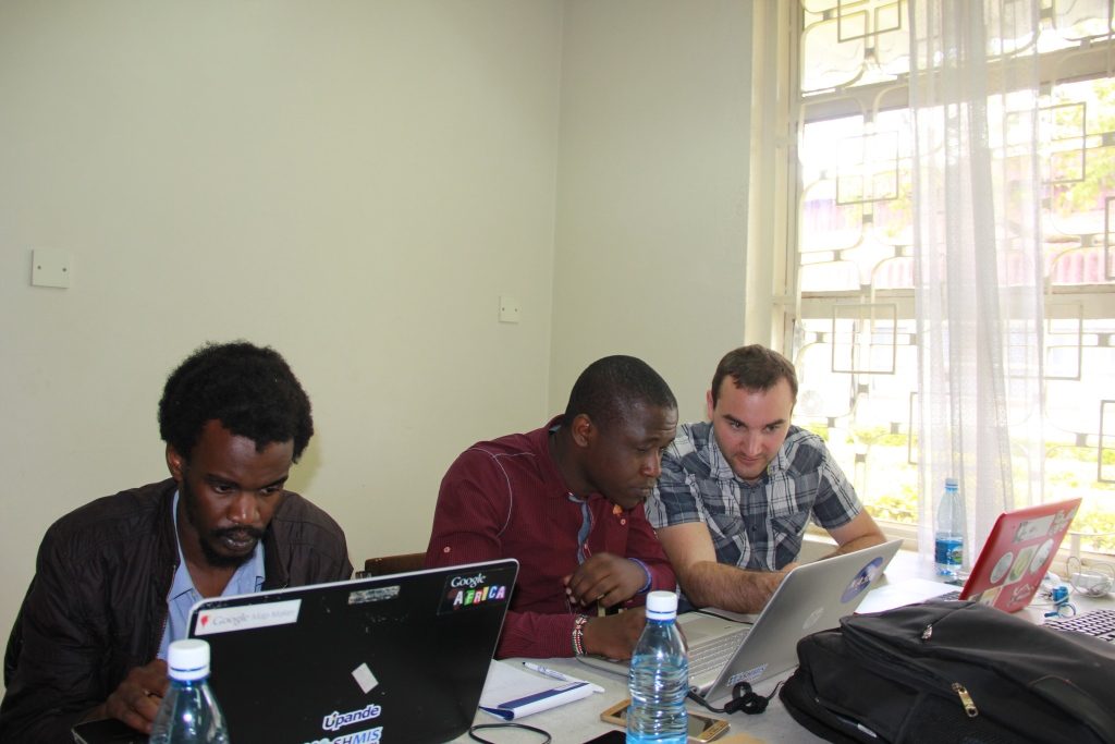
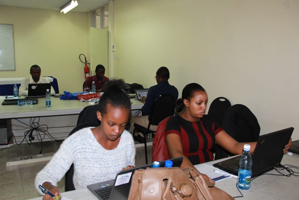
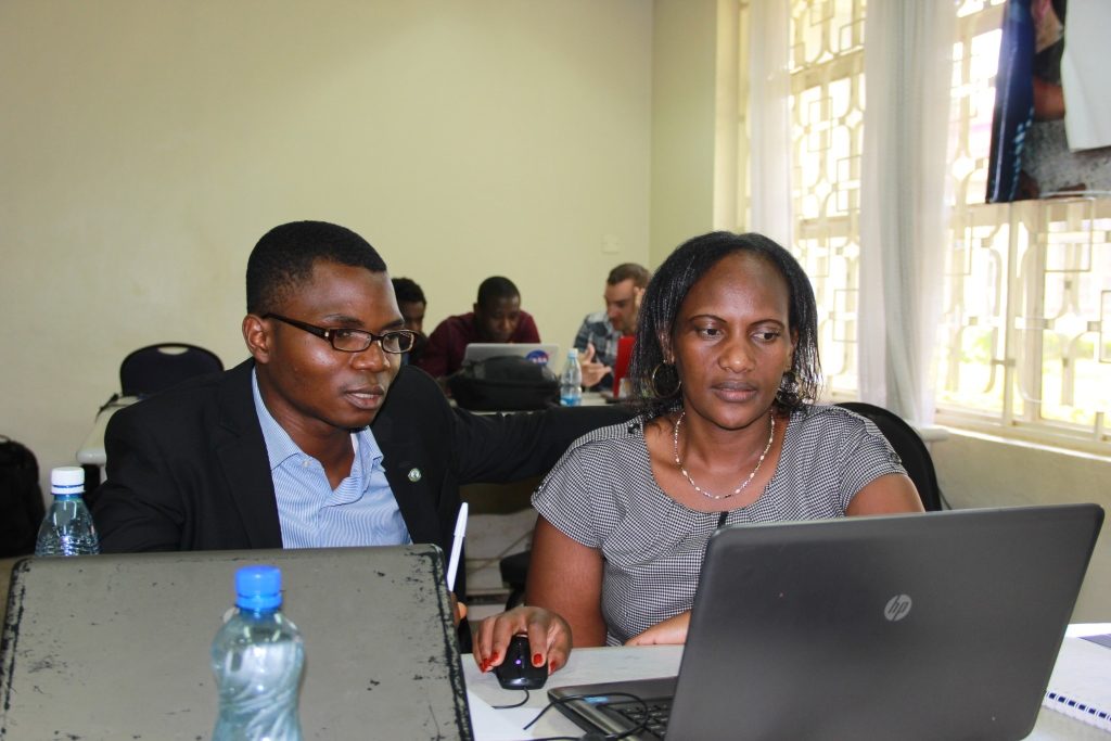
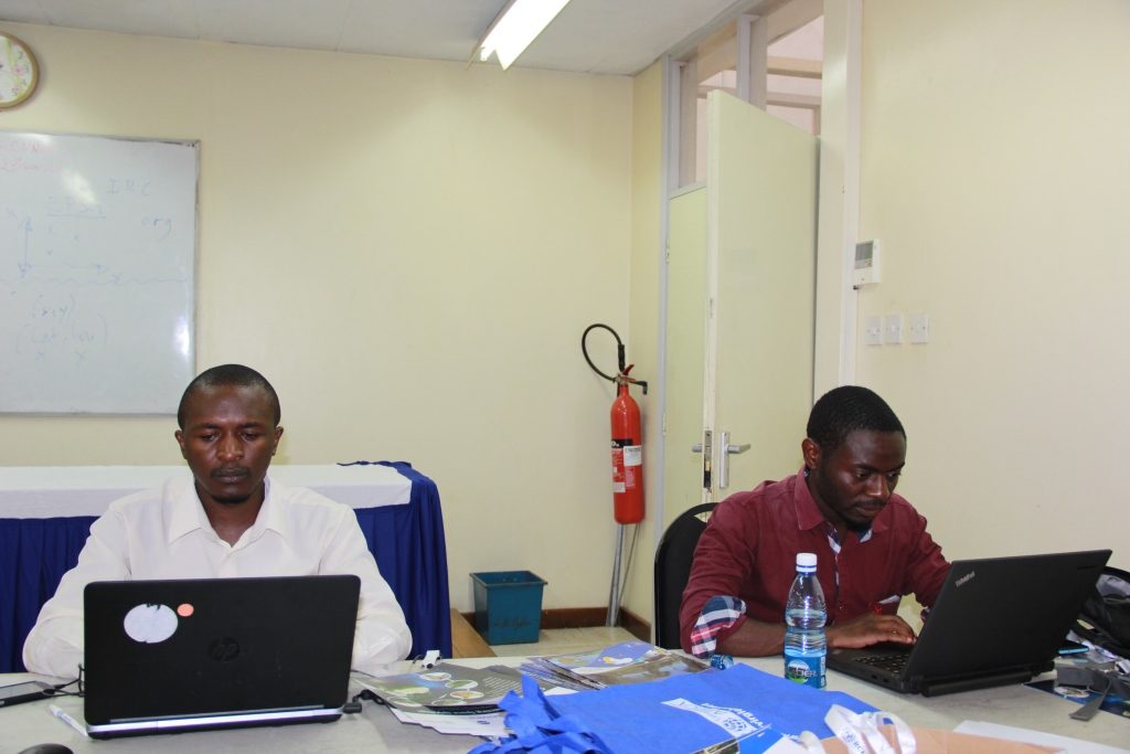
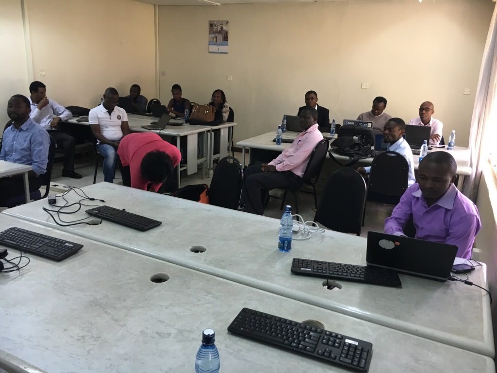
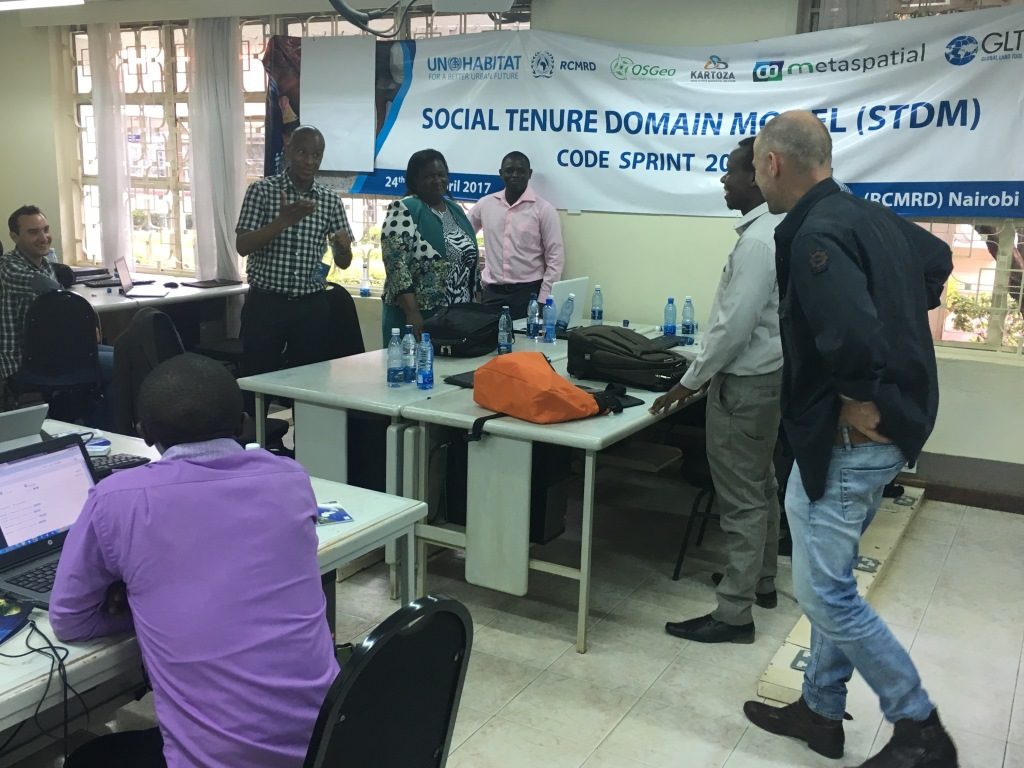
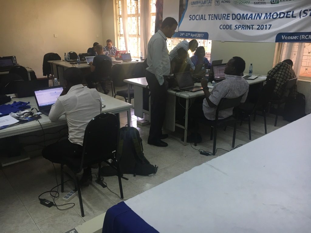
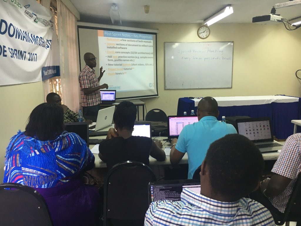
A team of 18 geospatial experts drawn from the private sector, academia and practicing professionals on land converged at the Regional Centre for Mapping Resources for Development (RCMRD), Nairobi for the Social Tenure Domain Model (STDM) Sprint Code Hackathon between the 24th and 27th of April 2017 to devise and discuss ideas for the further development of the STDM tool.
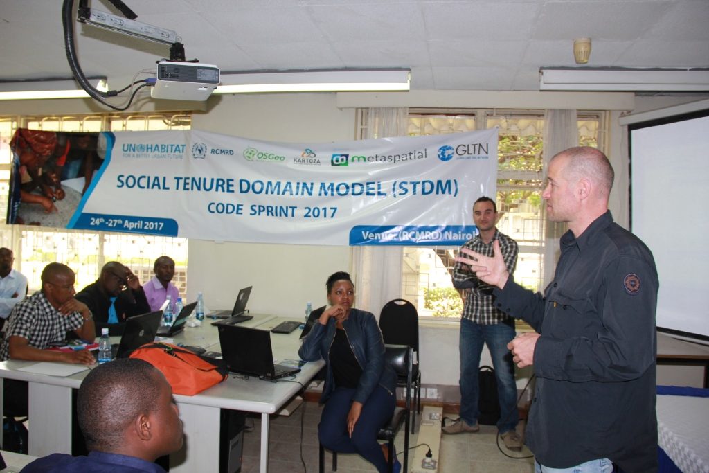
The Codesprint organized by Metaspatial (Germany) in close cooperation with UN-Habitat through the Global Land Tool Network (GLTN) and the Regional Centre For Mapping Of Resources For Development (RCMRD) sought to incorporate internationalization of the tool’s user interface; improve the end-user manual of the tool; incorporate prototype support for the OGC Geo-Package standard, and evaluate the level of effort that will be required to incorporate a production-ready GeoODK extension.
The event was attended by participants from Angola, Botswana, Democratic Republic of Congo, France, Kenya, Nigeria, Uganda and Zambia.

The issue of land reform and the results of various land reform policies have been debated by governments, land experts and researchers among others for more than 40 years, yet 70% of land in developing countries is still not captured in the many national cadasters. New solutions/ innovations to land administration such as the STDM are thus required to deliver security of tenure for all; solutions that are affordable and can be quickly developed and incrementally improved over time.
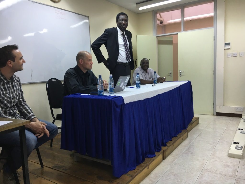
Mr. Muya Kamamia, representing the Director General at RCMRD welcomed all participants to the workshop and gave a brief overview of the organization’s mandate as a centre made up of twenty contracting member states, providing training and geo-information services in Africa. Mr. Kamamia, a digital mapping survey at RMCRD remarked that the code sprint would contribute to enhancement of the STDM tool to serve the purpose for which it was invented as a land administration tool, a tool that can apply to governments and communities to improve security of tenure for all.
In his opening remarks, UN-Habitat’s Land and GLTN Unit Leader Oumar Sylla observed that the application of Information and Communications Technology (ICT) to land related projects is now a widespread phenomenon, through both donor-supported interventions and autonomous development. Technology, he emphasized, is a major facilitator for process acceleration and added that the STDM, which includes open-source software to enable documentation of land and property claims, and the related concept of ‘fit-for purpose’ land administration systems, incorporates various ICTs and strives to encourage governments to reconfigure land administration systems so as to benefit vulnerable groups and support the operationalization of the continuum of land rights concept.
He magnified the importance of partnerships to break silos and the importance of a multi-stakeholder approach in supporting the development of pro-poor land tools based on the tenure context and realities on the ground. He welcomed to the Hackathon and officially declared it open.

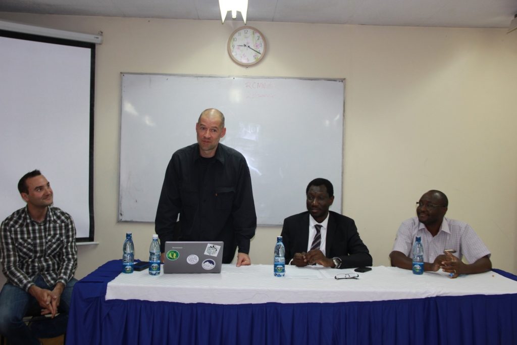
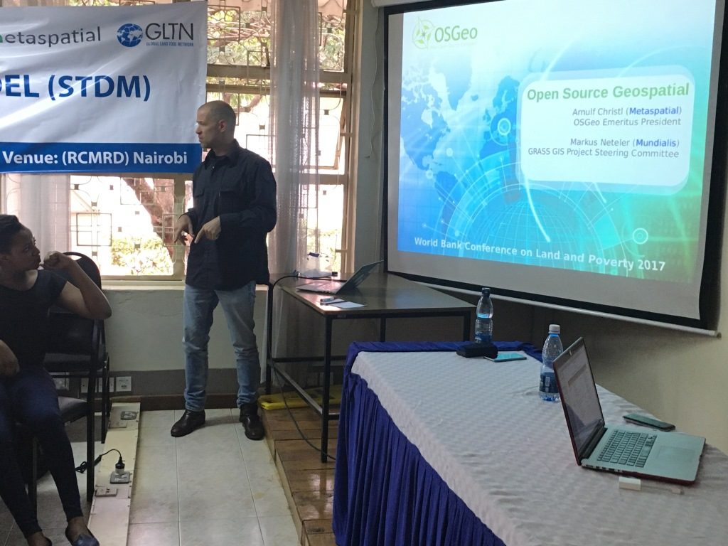
Arnulf Christl, Director at Metaspatial and President Emeritus of the Open Source Geospatial Foundation (OSGeo) was the lead facilitator of the Code Sprint. He observed that the primary motivation of any software is to solve a problem; in this case, a problem in land administration as is the case in many developing nations where large expanses of land have remained under customary tenure regimes and are contested, leading to land disputes and insecurity. He encouraged participants to work towards providing input, ideas and suggestions to improve the STDM as an innovative tool for the inclusion of the urban and rural poor and the marginalized in the land tenure and property rights debate.
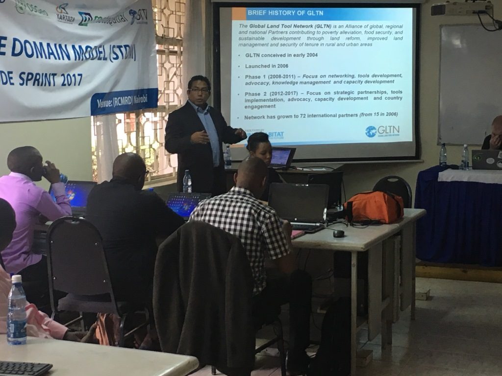
In a brief presentation on GLTN work scope, Danilo Antonio, who serves as the Country Operations and Land Tools Development Coordinator at GLTN presented on the networks’ mandate, working to develop pro-poor gender responsive tools within the continuum of land rights with a focus on achieving tenure security for all. He noted the need to continuously develop land tools such as the STDM to open up the possibility of customizing them further, based on the land data requirements and context. He lauded the participants present in the Code Sprint, adding that they act as intermediaries to support work at country level championing land governance at a global scale.
At the end of the four day session, the Director of Technical Services Directorate at RCMRD Professor John Kiema noted that successful implementation of land administration systems will require skilled personnel in Geospatial Information Technology (GIT) to support the design, implementation and maintenance of such systems and this group represents the uppermost level of candidates who can provide this kind of support’.
Serges Vutengha from the Christian Bilingual University of Congo, (UCBC) DRC also had this to say: “I had briefly worked with STDM before but this event has provided me with an opportunity to get an in-depth understanding of the tool. As such, am planning to use the tool to support the establishment of land administration systems for various land administration offices at provincial level in Eastern DRC”.
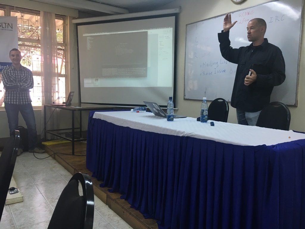
The Code Sprint comes at an opportune time, as the STDM technical team at GLTN continues to work on the release of the next major version (version 2.0) in October 2017. This release has been scheduled to follow that of QGIS 3.0, with the latter scheduled for a September 2017 release. The Code Sprint achieved great strides as noted by Arnulf “In most code sprints, about 20-30% of the objectives are actually met. However, I am amazed that this group has managed to almost complete the four objectives that had been initially set out i.e. GeoPackage support; interface translated into 3 languages (French, Portuguese and German) with initial Swahili and Spanish translations included; documentation overhauled and basic GeoODK support integrated into the STDM code repository” .
Look out for the next version of STDM version 1.6, which will incorporate new language translations and minor bug fixes.