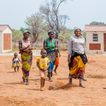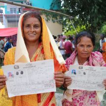
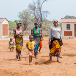


Farmers and staff of the Smallholder Dairy Commercialization Project (SDCP) received training on GLTN’s Social Tenure Domain Model (STDM). SDCP is an IFAD supported project aimed at commercialization of smallholder dairy and dairy products through the market oriented dairy enterprises (MODE) approach in nine counties of Nakuru, Kisii, Bungoma, Nyamira, Lugari, Nandi North, Trans Nzoia, Uasin Gishu and Bomet in Western Kenya. The training workshop was held from 23rd to 25th February 2015 in Bomet Town, Bomet County and was attended by 19 participants drawn from the farmers of the dairy commercialization groups, SDCP staff and other local GLTN partners – Technical University of Kenya, Groots Kenya, Action Aid Kenya, Pamoja Trust, RECONCILE, Kenya Informal Settlement Improvement Programme (KISIP), and the Institute of Surveyors of Kenya (ISK).
This training is part of the IFAD and UN-Habitat/GLTN’s partnership under the initiative “Land and Natural Resources Tenure Learning Initiative for East and Southern Africa” (TSLI-ESA) that aims at documenting, testing and sharing tools and approaches for strengthening land and natural resources tenure of the target communities in IFAD supported projects and programmes in selected countries in East and Southern Africa region.

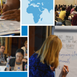
Photo: John Ochola, UN-Habitat/GLTN
The programme of the training included a lecturette on the concepts, use and applications of STDM in mapping land and natural resources to secure rights; experience sharing on STDM implementation in Kenya by GLTN local partners – the Technical University of Kenya and Pamoja Trus; STDM software installation and template customization. The training included half day of field practice that involved door to door inventory survey of the farmer’s livestock, land holding and farming practices. Geospatial location (coordinates) of farmland, water points and various patches of land use were taken using GPS that were later used for demonstration on production of land use map.
Participants appreciated the GLTN for providing the complicated GIS training in a more user-friendly language and with full of practice. On behalf of SDCP, Mr Kibiego said the programme is grateful for the skills that they have acquired and they are committed to implement STDM to improve on their project delivery. One farmer representative at the training said that “the information will help farmers to prioritize and plan land for better use and security”. The training concluded with an action plan the implementation of STDM in SDCP.