


Land and Natural Resources Tenure Security Learning Initiative for Eastern and Southern Africa (TSLI-ESA) Projects in Kenya.
The experience of the Small Holder Dairy Commercialization Project (SDCP) in Bomet County and Upper Tana Natural Resources Management Programme (UTaNRMP), Kirinyaga County, Kenya
Small Holder Dairy Commercialization Project (SDCP) in Bomet Kenya
SDCP is a joint investment project of the Government of Kenya (Ministry of Livestock and Fisheries Development) and IFAD with an overall objective of supporting commercialization of dairy and dairy products through the Market Oriented Dairy Enterprises (MODE) approach. The project covers 9 counties in Western Kenya.
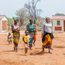
On the inception of the project key tenure challenges included encroachment of grazing lands and deteriorating communally shared resources. Due to dwindling grazing land and communally shared resources, conflicts over pasture and water sources had been on the rise. The lack of pasture and water reduced productivity of the dairy animals.
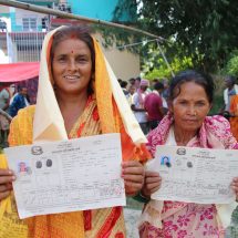
GLTN in collaboration with RECONCILE conducted participatory enumerations, mapping and recordation of communally shared resources including grazing lands and water points in DCA 2 and 3 of Bomet county. As a result, an up to date inventory of these resources was made available and the SDCP Bomet LIMS database and centre launched in early 2018. Communities living in the target DCAs now have access to the database to secure their common resources from encroachment and promote their sustainable utilization.
Additionally, a full inventory of dairy smallholder farmers, their animals and private resources with the SDCP has also been created for strengthening the dairy value chains and marketing. Using the STDM, land information inventory of all the Dairy Centralization Areas was established, including farmers’ socio-economic and production information as attribute data. The smallholder dairy farmers in partnership with SDCP, devolved structures and the NEMA county officers have operationalized the STDM database for communal resource management in the DCAs.
Partners involved in the project were IFAD; SDCP, Regional Centre for Mapping Resources for Development (RCMRD); Resource Conflict Institute (RECONCILE); Pamoja Trust; Technical University of Kenya (TUK).
Upper Tana Natural Resources Management Programme (UTaNRMP), Kirinyaga County, Kenya
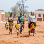
UTaNRMP is an investment programme of the Ministry of Water and Irrigation of Kenya funded by IFAD that aims at promoting sustainable natural resource-based livelihoods of communities living and dependent on the Mt. Kenya water tower that is a source to 28 river systems. Covering 6 counties in Central the project has implemented various interventions to arrest deforestation, institute sustainable livelihoods, including monitoring of the land use and project interventions.
The need to institute sustainable livelihood options within the project areas has been tedious. The out-grower irrigation water users have for example, applied for irrigation water and services from the National Irrigation Board of Kenya’s Mwea Irrigation Scheme. The challenge, however, was that that the NIB did not have data on the size of individual paddies and the estimated area under the out-growers. This posed challenges to both the NIB and the Irrigation Water User Association (IWUA) on how to calculate precisely the optimal irrigation water requirement that needs to be supplied, and the appropriate operation and maintenance fee that farmers have to pay depending on the paddy sizes.
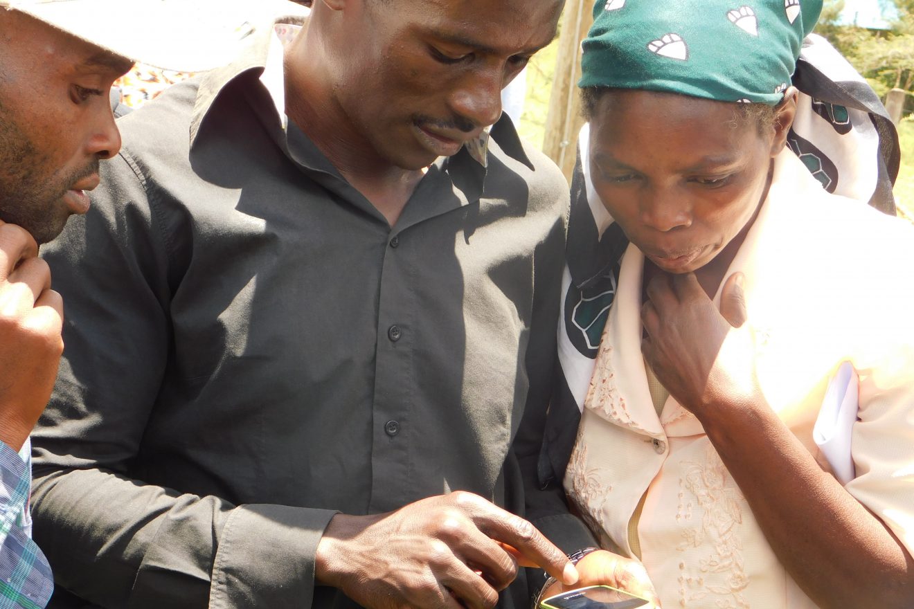
GLTN in collaboration with RECONCILE established an STDM-based database of 830 UTaNRMP supported farmers using participatory enumerations, paddy fields measurement and mapping, and recordation of paddy associated information for inclusion in the MIS out-grower farmer register. Other partners included Pamoja Trust; Technical University of Kenya (TUK).
The exercise focused on providing an up to date irrigation water user register of all out-grower rice farmers and their geo-referenced rice paddies in Ndekia I, II, III and IV in MIS to improve water supply (and use) efficiency both by NIB and the farmers, to improve upon the farmers productivity and rice production. Further, mapping of all the irrigation water canals to the out-grower blocks has resulted into a clear water conveyance map, which is useful for the MIS management and IWUA to track water distribution channels to the formerly undocumented blocks.
Strengthening UTaNRMP and SDCP’s Monitoring and Evaluation systems
UTaNRMP has implemented various interventions to arrest deforestation, institute sustainable livelihoods, including monitoring of the land use and project interventions within the 28 river systems that drain into the Tana River. However, tracking of these interventions has proven a challenge as the intervention area is too vast covering six counties (including Embu, Kirinyaga, Muranga, Nyeri, Tharaka Nithi and Meru counties) and as such data is collected, analyzed and presented in different systems within the different counties.
With support of the GLTN under TSLI-ESA, IFAD/UTaNRMP managed to bring together all the data collected into the STDM database, using mobile smart phone-based Geo ODK app for data collection. A test for data collection and transmission using smart phones was completed in Lower Rhupingazi and Upper Thura focal development areas in Embu, covering 30 groups. This was successively followed by a pilot on the use of smart phone technology (Geo ODK/ STDM) in collecting monitoring data of the interventions in Kirinyaga and Embu Counties with technical support from GLTN. After a comprehensive review an upscale is planned later in the year within the remaining four of six counties. The M&E template has been customized to UTaNRM project specifications and simulated in the two counties.